A planning profile for collaboration with Deumai, Ilam district. No signed partnership or participating farm area is represented.
Published geographic context
41,980Population, 2021 Census
IlamDistrict
KoshiProvince
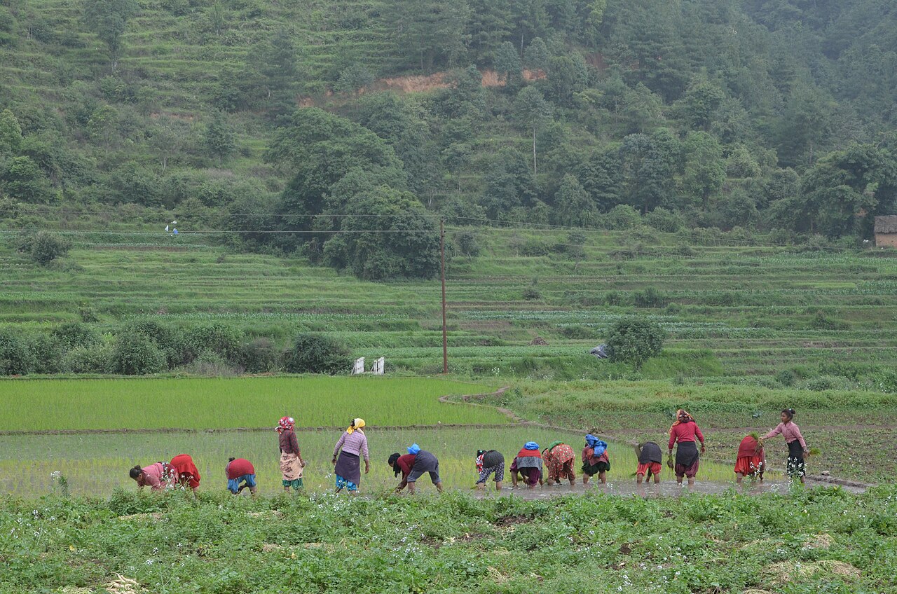
Farming in Nepal · people planting rice in terraced fields.
The municipal record, researched.
Published background
Agricultural municipality in central Ilam hills
Deumai river valleyCardamom and ginger
Agriculture
Main crops: Tea, cardamom, ginger, potato, broom grass, paddy, maize. Livestock: Cattle (dairy), goats, pigs, poultry. Agro-climate: Lower tropical to temperate. Irrigation: Moderate river and stream irrigation. Potential: Tea exports, dairy processing, cardamom value chain, floriculture. Challenges: Land fragmentation, labour shortage, price volatility.
Carbon & forestry context
Forest coverage: ~55-60%. Carbon: Significant agro-forest and community forest carbon stocks. Community forestry: Well-developed community forestry and leasehold forestry. Biodiversity: Red panda, leopard, pangolin, orchids, medicinal plants. Projects: Tea agroforestry carbon co-benefits; community forestry carbon. Protected areas: Mai Pokhari Ramsar site (adjacent/in district).
Key opportunities
Orthodox tea exports and tea tourism
Cardamom
ginger and broom grass processing
Dairy and chhurpi (dog chew) exports
Hill tourism (Mai Pokhari
Antu Danda)
Hydropower cascade on Mai river
Natural calamities on record
Landslide (Annual monsoon) — High: Tea garden and road damage
Hailstorm (Annual pre-monsoon) — Moderate: Tea leaf and cardamom loss
Earthquake (2015) — Moderate: House damage in hilly wards
The municipal project record.
Awaiting project data
Planning will be developed with the municipality and participating farmers. These are the records needed for a useful, evidence-led partnership.
To be assessed
Municipal partnership
Focal person, local priorities, consultation record, collaboration agreement and responsibilities.
To be assessed
Farms & participating people
Ward and parcel boundaries, participating households, tenure, consent and farmer organisations.
To be assessed
Current land management
Crop rotations, irrigation, fertiliser and residue practices, livestock integration and historical land use.
Share maps, available records and local priorities with the team. Data will need review before it can become a published project record; these pages do not imply eligibility, verified carbon volumes or an existing agreement.
 A shared climate future