A planning profile for collaboration with Panchakhapan, Sankhuwasabha district. No signed partnership or participating farm area is represented.
Published geographic context
16,348Population, 2021 Census
SankhuwasabhaDistrict
KoshiProvince
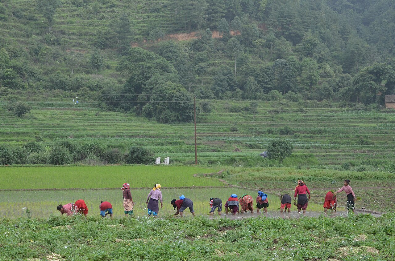
Farming in Nepal · people planting rice in terraced fields.
The municipal record, researched.
Published background
Hill town in south-eastern Sankhuwasabha
Panchkhapan valleyAgriculture and forest
Agriculture
Main crops: Maize, millet, paddy, buckwheat, barley (high hills), cardamom. Livestock: Yak/chauri, sheep, goats, cattle. Agro-climate: Upper tropical to nival. Irrigation: Limited; rain-fed and glacial streams. Potential: High-value NTFPs, organic buckwheat, yak cheese, mountain tourism supplies. Challenges: Extreme remoteness, high transport costs, climate risks.
Carbon & forestry context
Forest coverage: ~55-65%. Carbon: High in Makalu-Barun and Arun valley forests. Community forestry: Community forestry in accessible mid-hills. Biodiversity: Snow leopard, red panda, Himalayan tahrs, pheasants, orchids. Projects: Makalu-Barun conservation, REDD+ potential. Protected areas: Makalu Barun National Park.
Key opportunities
Makalu-Barun adventure tourism
Large hydropower on Arun River
High-value medicinal and aromatic plants
Community forestry carbon projects
Tibetan border trade (if opened)
Natural calamities on record
Landslide / Flood (Annual monsoon) — High: Road/bridge damage, settlement risk in Arun valley
Glacial lake outburst (Risk from Tibetan glaciers) — High potential: Catastrophic downstream flooding
Share maps, available records and local priorities with the team. Data will need review before it can become a published project record; these pages do not imply eligibility, verified carbon volumes or an existing agreement.
 A shared climate future