A planning profile for collaboration with Solu Dhudhakunda, Solukhumbu district. No signed partnership or participating farm area is represented.
Published geographic context
27,542Population, 2021 Census
SolukhumbuDistrict
KoshiProvince
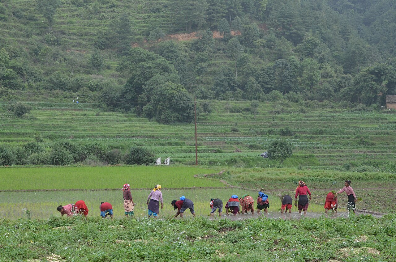
Farming in Nepal · people planting rice in terraced fields.
The municipal record, researched.
Published background
District headquarters Salleri and Dudh Kunda pilgrimage
Salleri district headquartersDudh Kunda sacred lakePike Peak trek
Agriculture
Main crops: Potato, barley, buckwheat, maize (high altitude); limited paddy in lower Solu. Livestock: Yak, nak, chauri, sheep, goats, dzopkyo. Agro-climate: Temperate to nival. Irrigation: Minimal; glacial streams in lower valleys. Potential: Yak cheese, high-value medicinal plants (yarsagumba), potato seed production. Challenges: Very short growing season, altitude, labour shortage, transport.
Carbon & forestry context
Forest coverage: ~40-50% (decreases with altitude). Carbon: High alpine and subalpine carbon storage (slow-growing); significant below-ground carbon. Community forestry: Limited; Sagarmatha National Park and buffer-zone management. Biodiversity: Snow leopard, Himalayan black bear, musk deer, red panda, Danphe. Projects: Sagarmatha National Park conservation, potential high-altitude carbon monitoring. Protected areas: Sagarmatha National Park.
Key opportunities
Everest-Sagarmatha tourism value chain
Pike Peak and Mundhum trail development
High-altitude medicinal plants (yarsagumba)
Hydropower (Solu)
Sherpa cultural tourism and homestays
Natural calamities on record
Avalanche / Snowstorm (Winter) — High: Trekking route closures, livestock mortality in high pastures
Glacial lake outburst (Risk) — High potential: Downstream flood risk
Earthquake (2015) — Moderate: Monastery and trail damage
The municipal project record.
Awaiting project data
Planning will be developed with the municipality and participating farmers. These are the records needed for a useful, evidence-led partnership.
To be assessed
Municipal partnership
Focal person, local priorities, consultation record, collaboration agreement and responsibilities.
To be assessed
Farms & participating people
Ward and parcel boundaries, participating households, tenure, consent and farmer organisations.
To be assessed
Current land management
Crop rotations, irrigation, fertiliser and residue practices, livestock integration and historical land use.
Share maps, available records and local priorities with the team. Data will need review before it can become a published project record; these pages do not imply eligibility, verified carbon volumes or an existing agreement.
 A shared climate future