A planning profile for collaboration with Nijagadh, Bara district. No signed partnership or participating farm area is represented.
Published geographic context
62,000Population, 2021 Census
BaraDistrict
MadheshProvince
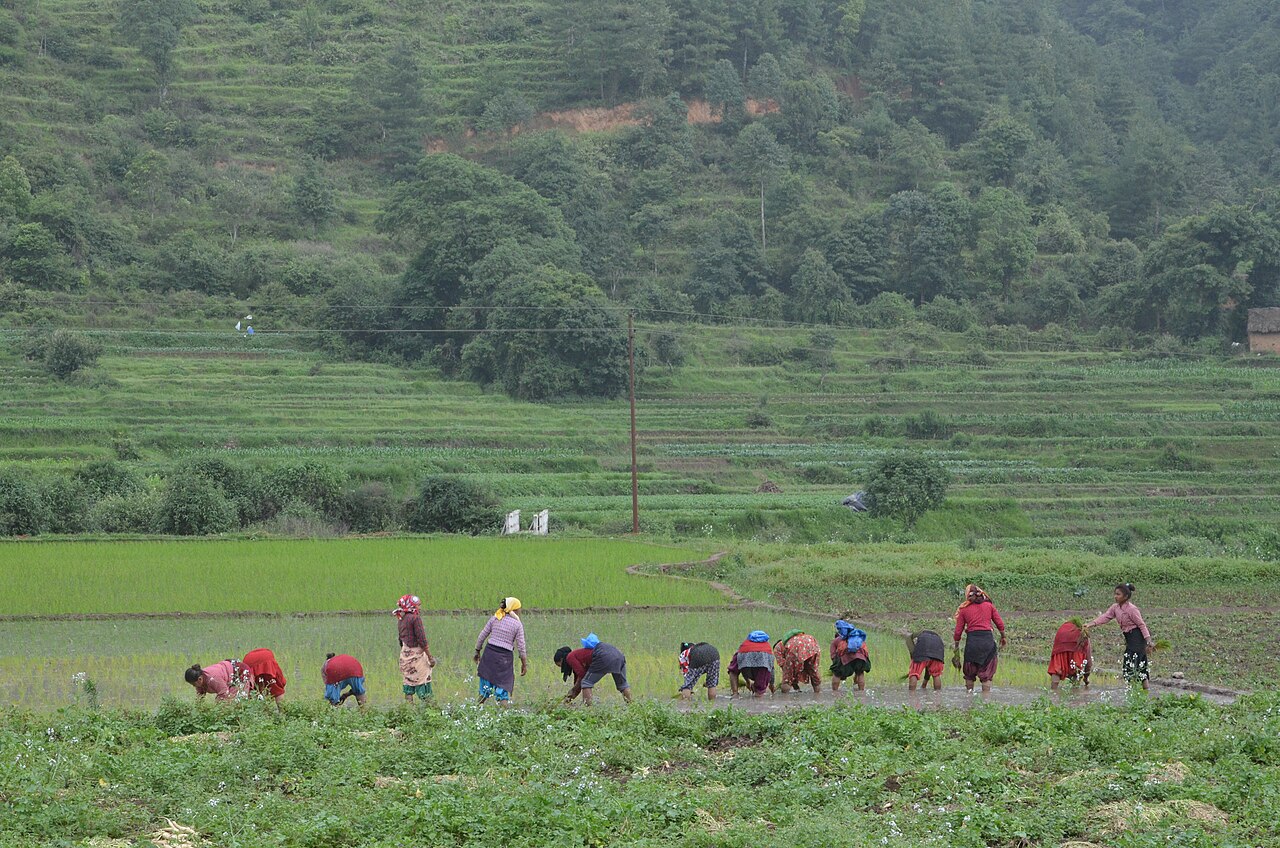
Farming in Nepal · people planting rice in terraced fields.
The municipal record, researched.
Published background
Planned future aviation and logistics gateway of Nepal.
Proposed Nijgadh International Airport siteNijgadh forest areaEast-West Highway corridor.
Agriculture
Agricultural fringe with paddy, wheat, vegetables and livestock; some land reserved for airport project.
Carbon & forestry context
Nijgadh forest patch is one of the larger forest areas in central Terai; significant carbon stock and biodiversity; environmental clearance and compensation planting are ongoing issues; potential for REDD+ or biodiversity offsets if managed sustainably.
Key opportunities
Airport-linked real estate
logistics and warehousing
tourism services
construction
agro-processing
transport corridor businesses.
Natural calamities on record
Flood risk from local streams; land-use change and deforestation concerns; potential construction-phase hazards.
The municipal project record.
Awaiting project data
Planning will be developed with the municipality and participating farmers. These are the records needed for a useful, evidence-led partnership.
To be assessed
Municipal partnership
Focal person, local priorities, consultation record, collaboration agreement and responsibilities.
To be assessed
Farms & participating people
Ward and parcel boundaries, participating households, tenure, consent and farmer organisations.
To be assessed
Current land management
Crop rotations, irrigation, fertiliser and residue practices, livestock integration and historical land use.
Share maps, available records and local priorities with the team. Data will need review before it can become a published project record; these pages do not imply eligibility, verified carbon volumes or an existing agreement.
 A shared climate future