A planning profile for collaboration with Lalitpur, Lalitpur district. No signed partnership or participating farm area is represented.
Published geographic context
294,098Population, 2021 Census
LalitpurDistrict
BagmatiProvince
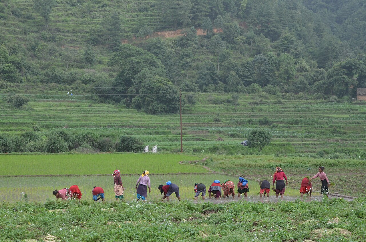
Farming in Nepal · people planting rice in terraced fields.
The municipal record, researched.
Published background
Historic city of Patan and major commercial-educational hub of the Kathmandu Valley
Patan Durbar Square (UNESCO World Heritage Site)Fine metalwork and statuesPulchowk Engineering Campus and IT sectorPatan Industrial EstateJawlakhel, Kupondole and Sanepa commercial areas
Agriculture
Very limited; peri-urban pockets produce vegetables, flowers and dairy.
Carbon & forestry context
Phulchowki and Godawari forests on southern fringe; urban parks.
Key opportunities
IT and software exports
Heritage tourism and handicrafts
Higher education and technical training
Real estate and retail
Manufacturing and light industry
Natural calamities on record
2015 earthquake damaged Patan Durbar Square. Monsoon flooding in Nakhu and Bagmati tributaries. Landslides in southern hills. Fire in dense commercial areas.
The municipal project record.
Awaiting project data
Planning will be developed with the municipality and participating farmers. These are the records needed for a useful, evidence-led partnership.
To be assessed
Municipal partnership
Focal person, local priorities, consultation record, collaboration agreement and responsibilities.
To be assessed
Farms & participating people
Ward and parcel boundaries, participating households, tenure, consent and farmer organisations.
To be assessed
Current land management
Crop rotations, irrigation, fertiliser and residue practices, livestock integration and historical land use.
Share maps, available records and local priorities with the team. Data will need review before it can become a published project record; these pages do not imply eligibility, verified carbon volumes or an existing agreement.
 A shared climate future