A planning profile for collaboration with Bharatpur, Chitawan district. No signed partnership or participating farm area is represented.
Published geographic context
369,268Population, 2021 Census
ChitawanDistrict
BagmatiProvince
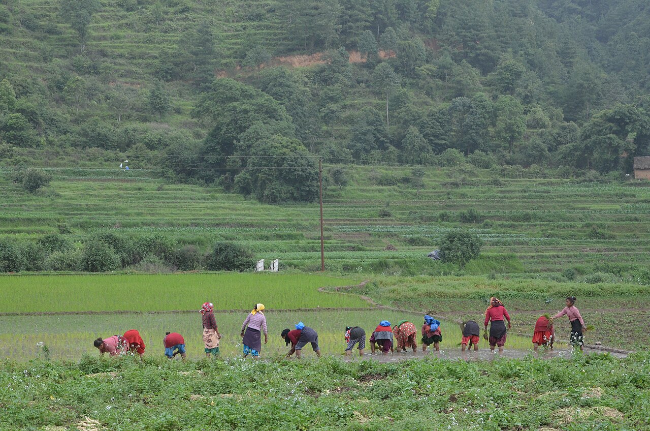
Farming in Nepal · people planting rice in terraced fields.
The municipal record, researched.
Published background
Medical city, commercial hub and gateway to Chitwan National Park
Chitwan Medical College and teaching hospitalsBharatpur Cancer HospitalCommercial and administrative center of ChitwanProximity to Chitwan National Park
Agriculture
Surrounding rural wards produce paddy, wheat, vegetables and dairy; urban core is non-agricultural.
Carbon & forestry context
Urban green spaces; buffer-zone forests on eastern and southern edges.
Key opportunities
Medical tourism and tertiary healthcare
Education hub (medical, nursing, paramedical)
Retail, hospitality and real estate
Agro-processing and logistics
Natural calamities on record
Flooding from Rapti and Narayani rivers; urban waterlogging; wildlife conflict on park fringe.
The municipal project record.
Awaiting project data
Planning will be developed with the municipality and participating farmers. These are the records needed for a useful, evidence-led partnership.
To be assessed
Municipal partnership
Focal person, local priorities, consultation record, collaboration agreement and responsibilities.
To be assessed
Farms & participating people
Ward and parcel boundaries, participating households, tenure, consent and farmer organisations.
To be assessed
Current land management
Crop rotations, irrigation, fertiliser and residue practices, livestock integration and historical land use.
Share maps, available records and local priorities with the team. Data will need review before it can become a published project record; these pages do not imply eligibility, verified carbon volumes or an existing agreement.
 A shared climate future