A planning profile for collaboration with Devdaha, Rupandehi district. No signed partnership or participating farm area is represented.
Published geographic context
72,457Population, 2021 Census
RupandehiDistrict
LumbiniProvince
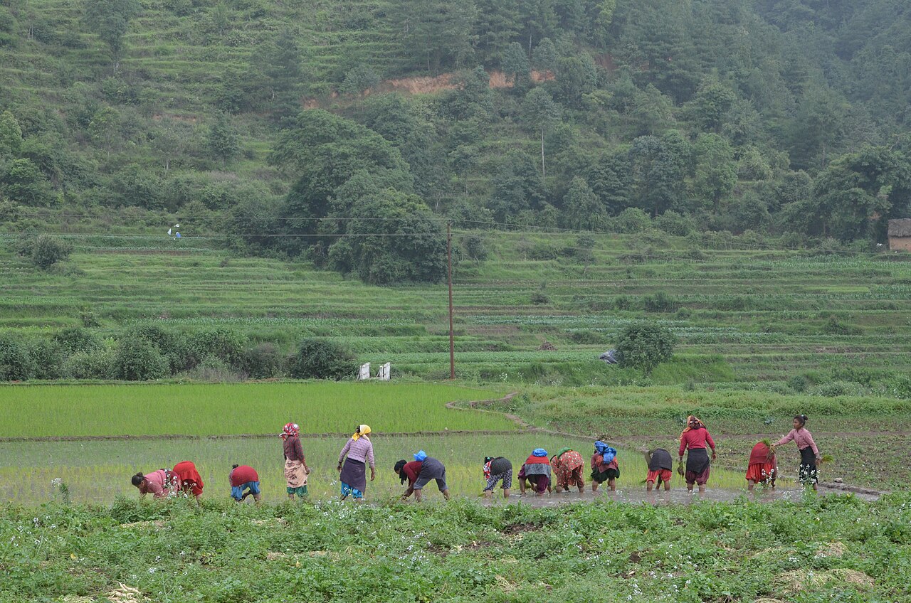
Farming in Nepal · people planting rice in terraced fields.
The municipal record, researched.
Published background
Ancient maternal home of Queen Mayadevi
Ancient maternal home of Queen MayadeviArchaeological parkLocated in Rupandehi district, Lumbini Province
Agriculture
Intensive Terai agriculture: paddy, wheat, maize, mustard, sugarcane, vegetables, fruits (mango, banana), flowers and fisheries. Well-irrigated in many areas. Livestock: dairy, buffalo, goat, poultry. High commercialization near highways and towns. For Devdaha, ward-level disaggregated crop statistics are not publicly available; inferred from district profile.
Carbon & forestry context
Forest cover lowest in province (~19.5%) due to urbanization and agriculture. Lumbini area has sacred groves and plantations; Chure forests in north. Carbon potential limited; focus is on urban greening and Lumbini master plan plantations. Municipality-level forest-cover maps are not available in this dossier; figures are district averages.
Key opportunities
Local service-center growth
Agro-processing and trade
Roadside/peri-urban commerce
Buddhist pilgrimage and international tourism
GBIA aviation-led logistics, hotels and SEZ
Natural calamities on record
Tinau and Rohini river floods (2007, 2014, 2017, 2021). Urban fire in Butwal/Bhairahawa markets. Hailstorms and windstorms damage crops. 2015 earthquake caused damage in northern hilly fringe. COVID-19 devastated tourism and trade.
The municipal project record.
Awaiting project data
Planning will be developed with the municipality and participating farmers. These are the records needed for a useful, evidence-led partnership.
To be assessed
Municipal partnership
Focal person, local priorities, consultation record, collaboration agreement and responsibilities.
To be assessed
Farms & participating people
Ward and parcel boundaries, participating households, tenure, consent and farmer organisations.
To be assessed
Current land management
Crop rotations, irrigation, fertiliser and residue practices, livestock integration and historical land use.
Share maps, available records and local priorities with the team. Data will need review before it can become a published project record; these pages do not imply eligibility, verified carbon volumes or an existing agreement.
 A shared climate future