A planning profile for collaboration with Sisne, Rukum East district. No signed partnership or participating farm area is represented.
Published geographic context
18,534Population, 2021 Census
Rukum EastDistrict
LumbiniProvince
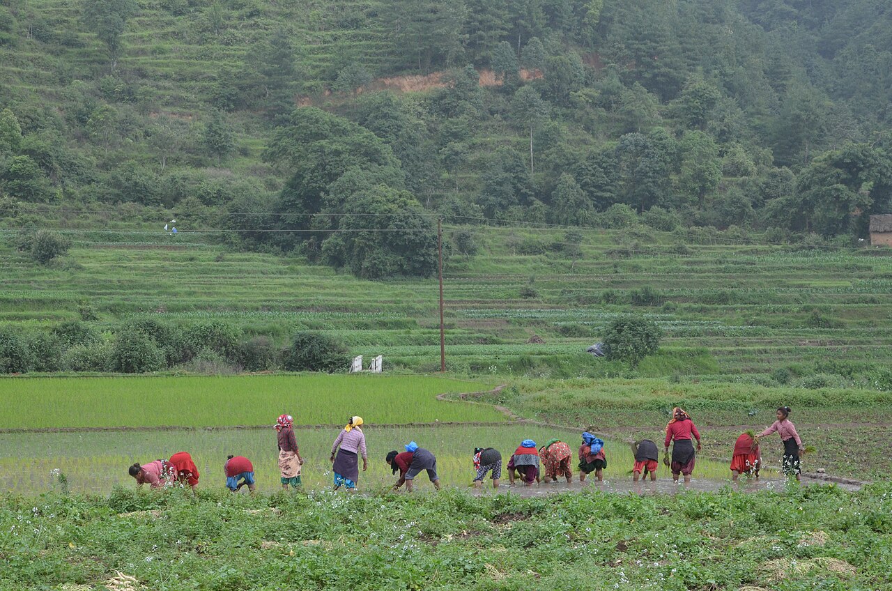
Farming in Nepal · people planting rice in terraced fields.
The municipal record, researched.
Published background
Mountain rural municipality beneath Mount Sisne
Mountain rural municipality beneath Mount SisneRemote highland pasturesLocated in Eastern Rukum district, Lumbini Province
Agriculture
Mountain and high-hill subsistence farming: maize, millet, barley, buckwheat, potato and pulses. Limited irrigation. Livestock (sheep, goat, cattle) and seasonal transhumance. Yarsagumba and wild medicinal plants are important cash sources. For Sisne, ward-level disaggregated crop statistics are not publicly available; inferred from district profile.
Carbon & forestry context
Forest cover ~39.4% (lower due to high altitude). Dhorpatan Hunting Reserve protects alpine/sub-alpine ecosystems. Community forests at lower elevations. High per-hectare carbon value in intact temperate forests but limited area; REDD+ not documented. Municipality-level forest-cover maps are not available in this dossier; figures are district averages.
Key opportunities
Agriculture intensification and market linkage
Livestock and poultry commercialization
Community forestry/NTFP enterprise
High-altitude mountaineering and Dhaulagiri circuit trekking
Dhorpatan trophy hunting and eco-tourism
Natural calamities on record
Monsoon landslides and road blockages; 2015 earthquake damage to remote wards. Snowstorms and cold waves in high valleys. Forest and grassland fires. Limited health access during epidemics. Climate-change impacts on snow/rainfall reported.
The municipal project record.
Awaiting project data
Planning will be developed with the municipality and participating farmers. These are the records needed for a useful, evidence-led partnership.
To be assessed
Municipal partnership
Focal person, local priorities, consultation record, collaboration agreement and responsibilities.
To be assessed
Farms & participating people
Ward and parcel boundaries, participating households, tenure, consent and farmer organisations.
To be assessed
Current land management
Crop rotations, irrigation, fertiliser and residue practices, livestock integration and historical land use.
Share maps, available records and local priorities with the team. Data will need review before it can become a published project record; these pages do not imply eligibility, verified carbon volumes or an existing agreement.
 A shared climate future