A planning profile for collaboration with Runtigadhi, Rolpa district. No signed partnership or participating farm area is represented.
Published geographic context
28,291Population, 2021 Census
RolpaDistrict
LumbiniProvince
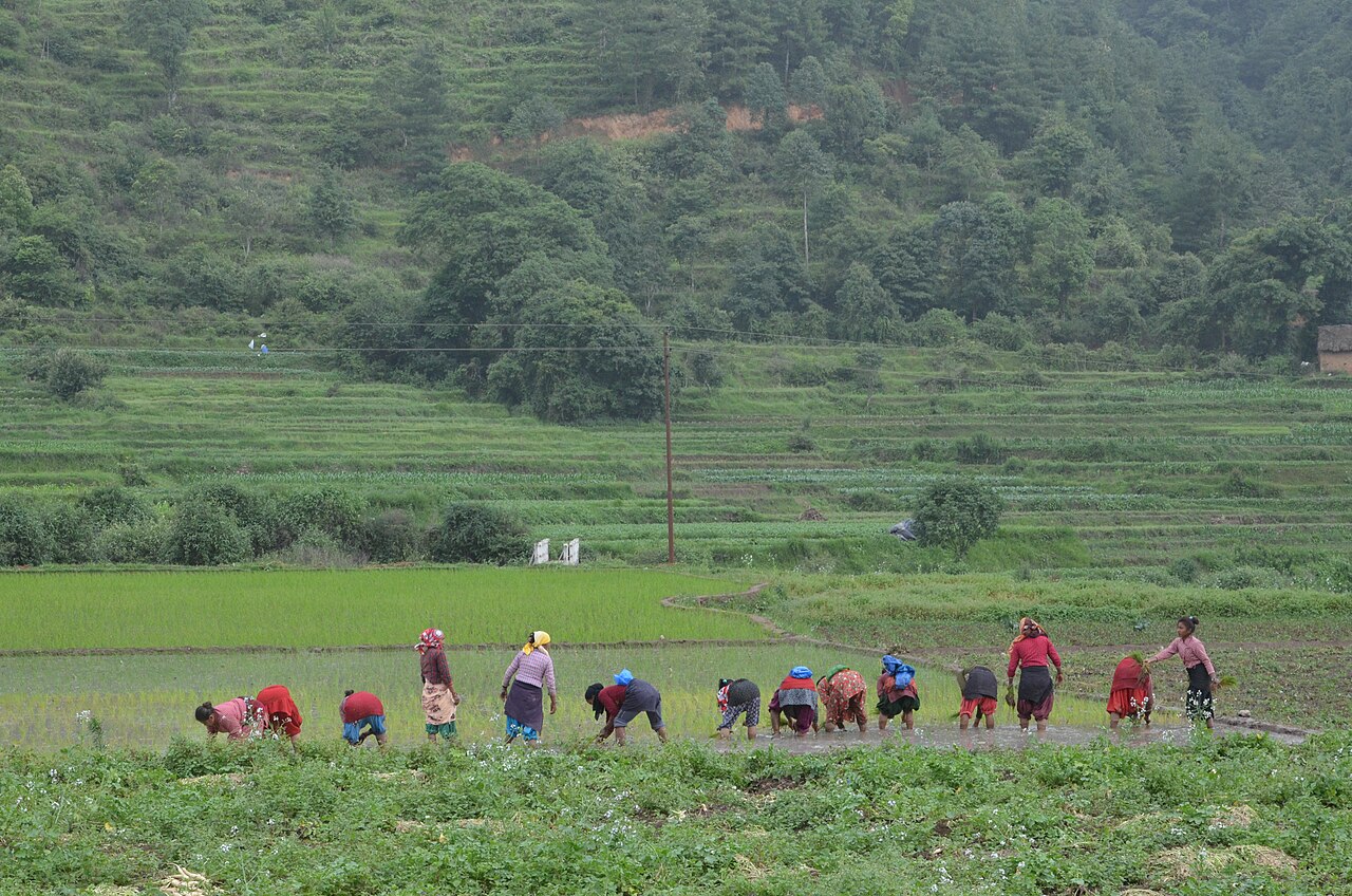
Farming in Nepal · people planting rice in terraced fields.
The municipal record, researched.
Published background
Rural municipality in western Rolpa
Rural municipality in western RolpaForested hillsLocated in Rolpa district, Lumbini Province
Agriculture
Hilly subsistence-plus agriculture: maize, millet, paddy, wheat, ginger, vegetables and pulses. Livestock: goat, buffalo, cattle. Limited irrigation and market access. High potential for ginger and coffee if processing/roads improve. For Runtigadhi, ward-level disaggregated crop statistics are not publicly available; inferred from district profile.
Carbon & forestry context
Forest cover ~52.8%. Mixed sal, pine and broadleaf forests; community forestry expanding after conflict. Significant carbon sink potential in rehabilitated forests; no registered carbon projects. Municipality-level forest-cover maps are not available in this dossier; figures are district averages.
Key opportunities
Agriculture intensification and market linkage
Livestock and poultry commercialization
Community forestry/NTFP enterprise
Conflict-heritage and rural tourism
Ginger, coffee, cardamom and vegetable commercial farming
Natural calamities on record
Landslides and road collapses during monsoon; 2015 earthquake damage. Floods along Madi and West Rapti tributaries. Forest fires in dry season. Cold waves in higher villages. Conflict legacy left some areas with damaged infrastructure and higher vulnerability.
The municipal project record.
Awaiting project data
Planning will be developed with the municipality and participating farmers. These are the records needed for a useful, evidence-led partnership.
To be assessed
Municipal partnership
Focal person, local priorities, consultation record, collaboration agreement and responsibilities.
To be assessed
Farms & participating people
Ward and parcel boundaries, participating households, tenure, consent and farmer organisations.
To be assessed
Current land management
Crop rotations, irrigation, fertiliser and residue practices, livestock integration and historical land use.
Share maps, available records and local priorities with the team. Data will need review before it can become a published project record; these pages do not imply eligibility, verified carbon volumes or an existing agreement.
 A shared climate future