A planning profile for collaboration with Babai, Dang district. No signed partnership or participating farm area is represented.
Published geographic context
30,968Population, 2021 Census
DangDistrict
LumbiniProvince
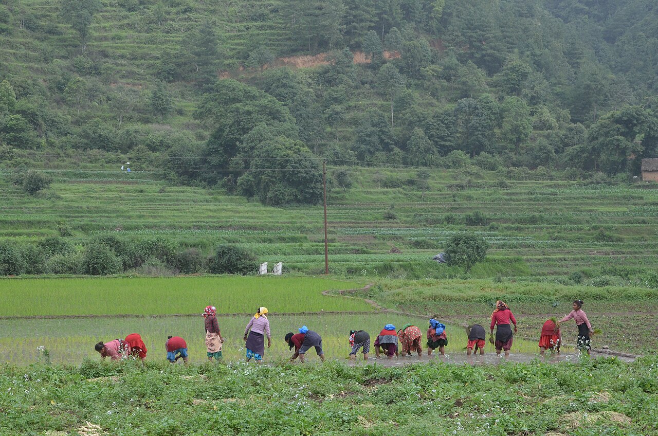
Farming in Nepal · people planting rice in terraced fields.
The municipal record, researched.
Published background
Rural municipality along the Babai River
Rural municipality along the Babai RiverIrrigated agriculture and forestsLocated in Dang district, Lumbini Province
Agriculture
Dang Valley is a major food basket: paddy, wheat, maize, oilseeds, pulses, vegetables, mango and litchi. Babai Irrigation and lift irrigation support commercial farming. Livestock: dairy buffalo, goat and poultry. Deukhuri is drier and more livestock-oriented. For Babai, ward-level disaggregated crop statistics are not publicly available; inferred from district profile.
Carbon & forestry context
Forest cover ~65.6%, highest in Lumbini. Dense Siwalik (Chure) sal and mixed forests; community forestry widespread. Significant carbon sink; Babai watershed critical for recharge. Municipality-level forest-cover maps are not available in this dossier; figures are district averages.
Key opportunities
Agriculture intensification and market linkage
Livestock and poultry commercialization
Community forestry/NTFP enterprise
Provincial capital functions and government services in Deukhuri
Cement, limestone and construction-material industries
Natural calamities on record
Babai and West Rapti floods (2007, 2014, 2017, 2021). Landslides along Chure foothills and highway corridors. Hailstorms damage winter wheat and mustard. Fire risk in dry forests and grasslands. 2015 earthquake minor damage.
The municipal project record.
Awaiting project data
Planning will be developed with the municipality and participating farmers. These are the records needed for a useful, evidence-led partnership.
To be assessed
Municipal partnership
Focal person, local priorities, consultation record, collaboration agreement and responsibilities.
To be assessed
Farms & participating people
Ward and parcel boundaries, participating households, tenure, consent and farmer organisations.
To be assessed
Current land management
Crop rotations, irrigation, fertiliser and residue practices, livestock integration and historical land use.
Share maps, available records and local priorities with the team. Data will need review before it can become a published project record; these pages do not imply eligibility, verified carbon volumes or an existing agreement.
 A shared climate future