A planning profile for collaboration with Sarkegad, Humla district. No signed partnership or participating farm area is represented.
Published geographic context
10,688Population, 2021 Census
HumlaDistrict
KarnaliProvince
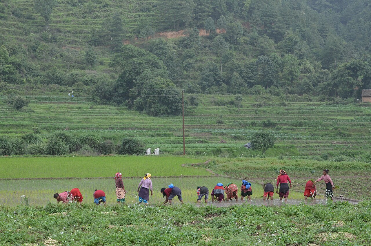
Farming in Nepal · people planting rice in terraced fields.
The municipal record, researched.
Published background
Rural municipality in central Humla along Karnali tributaries.
Confluence of Karnali tributariesterraced fieldssheep/goat herding.
Agriculture
High mountain barley, buckwheat, potato, limited irrigated terraces; yaks, sheep, goats; severe food insecurity, reliance on Tibetan salt-trade and remittances.
Carbon & forestry context
High-altitude coniferous forests and rangelands; low population pressure; important watersheds for Karnali/Ganges; very limited carbon project activity due to remoteness.
Key opportunities
Pilgrimage tourism (Kailash-Manasarovar)
cross-border trade via Hilsa
high-value medicinal herbs
yak products
Limi Valley restricted trekking.
Natural calamities on record
Heavy snowfall, avalanches, landslides, 2011 Humla earthquake swarm, food shortages, limited health access, travel disruptions due to weather.
The municipal project record.
Awaiting project data
Planning will be developed with the municipality and participating farmers. These are the records needed for a useful, evidence-led partnership.
To be assessed
Municipal partnership
Focal person, local priorities, consultation record, collaboration agreement and responsibilities.
To be assessed
Farms & participating people
Ward and parcel boundaries, participating households, tenure, consent and farmer organisations.
To be assessed
Current land management
Crop rotations, irrigation, fertiliser and residue practices, livestock integration and historical land use.
Share maps, available records and local priorities with the team. Data will need review before it can become a published project record; these pages do not imply eligibility, verified carbon volumes or an existing agreement.
 A shared climate future