A planning profile for collaboration with Surma, Bajhang district. No signed partnership or participating farm area is represented.
Published geographic context
11,082Population, 2021 Census
BajhangDistrict
Sudur PaschimProvince
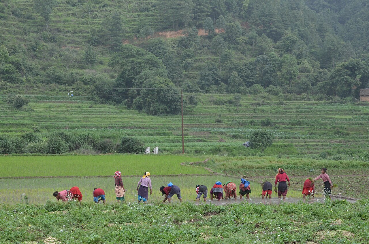
Farming in Nepal · people planting rice in terraced fields.
The municipal record, researched.
Published background
Surma — rural municipality in the Bajhang District landscape, with agriculture and forestry-based livelihoods.
Terraced fieldscommunity forestslocal temples and traditional Bajhang village life.
Agriculture
Surma reflects Bajhang’s farming pattern: Highland subsistence agriculture: maize, millet, barley, buckwheat; livestock (yak, chauri, goats, sheep) dominate livelihoods. Growing seasons are short and arable land is scarce.
Carbon & forestry context
Surma lies within Bajhang’s forest landscape: Alpine/subalpine forests, pastures and the Khaptad National Park area hold significant carbon and biodiversity. Community forestry is expanding but management capacity is limited.
Key opportunities
Agricultural intensification
livestock
community forestry and remittance-driven services.
Natural calamities on record
Hazards affecting Surma are typical of Bajhang: Landslides, snowstorms, avalanches and cold waves are recurrent; 2015 earthquake caused damage in mountain settlements; monsoon 2021/2023 triggered landslides and road losses.
The municipal project record.
Awaiting project data
Planning will be developed with the municipality and participating farmers. These are the records needed for a useful, evidence-led partnership.
To be assessed
Municipal partnership
Focal person, local priorities, consultation record, collaboration agreement and responsibilities.
To be assessed
Farms & participating people
Ward and parcel boundaries, participating households, tenure, consent and farmer organisations.
To be assessed
Current land management
Crop rotations, irrigation, fertiliser and residue practices, livestock integration and historical land use.
Share maps, available records and local priorities with the team. Data will need review before it can become a published project record; these pages do not imply eligibility, verified carbon volumes or an existing agreement.
 A shared climate future