A planning profile for collaboration with Bannigadhi Jayagadh, Achham district. No signed partnership or participating farm area is represented.
Published geographic context
13,519Population, 2021 Census
AchhamDistrict
Sudur PaschimProvince
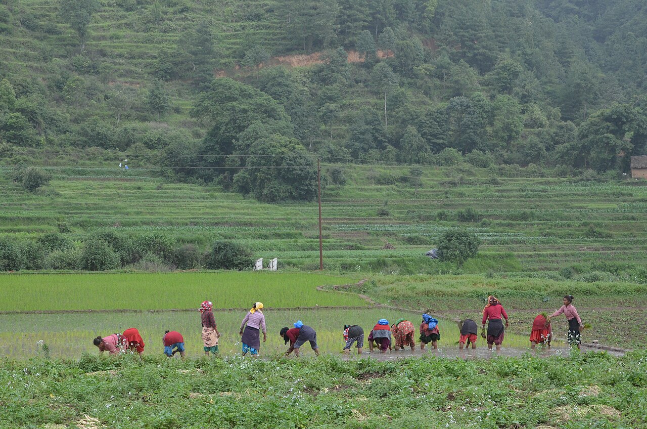
Farming in Nepal · people planting rice in terraced fields.
The municipal record, researched.
Published background
Small, remote rural municipality in the mid-hills of eastern Achham.
Rural Achhami cultureterraced hills and forested watersheds.
Agriculture
Bannigadi Jayagad reflects Achham’s farming pattern: Mixed subsistence cropping dominated by maize, millet, wheat and rice; limited irrigation; livestock (goats, cattle, buffalo) is central to household economies. Commercial potential exists in pockets along roads.
Carbon & forestry context
Bannigadi Jayagad lies within Achham’s forest landscape: Hill forests and community forests cover much of the district; the Khaptad National Park area extends into Bajhang/Bajura/Achham. Moderate carbon sequestration potential, but pressure from fuelwood and grazing.
Key opportunities
Subsistence agriculture intensification
community forestry and remittance-driven services.
Natural calamities on record
Hazards affecting Bannigadi Jayagad are typical of Achham: Highly landslide-prone during monsoon; recurring road blockages and settlements affected. The 2015 Gorkha earthquake caused damage and triggered landslides. Flash floods affect riverine areas.
The municipal project record.
Awaiting project data
Planning will be developed with the municipality and participating farmers. These are the records needed for a useful, evidence-led partnership.
To be assessed
Municipal partnership
Focal person, local priorities, consultation record, collaboration agreement and responsibilities.
To be assessed
Farms & participating people
Ward and parcel boundaries, participating households, tenure, consent and farmer organisations.
To be assessed
Current land management
Crop rotations, irrigation, fertiliser and residue practices, livestock integration and historical land use.
Share maps, available records and local priorities with the team. Data will need review before it can become a published project record; these pages do not imply eligibility, verified carbon volumes or an existing agreement.
 A shared climate future