Forest identity & boundaries
Forest name, mapped management boundary, forest type, ecological zone and area.
 A shared climate future
A place-specific foundation for forest partnerships, evidence and long-term stewardship.
Districts: Bhojpur · Dhankuta · Ilam · Jhapa · Khotang · Morang · Okhaldhunga · Panchthar · Sankhuwasabha · Solukhumbu · Sunsari · Taplejung · Terhathum · Udayapur
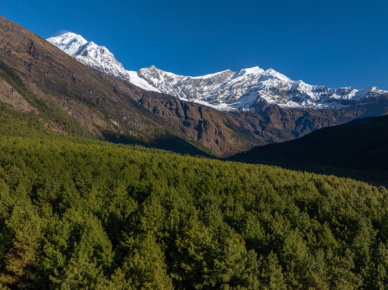
Koshi Province is Nepal's autonomous eastern province, officially named on 1 March 2023. It covers 25,905 km² (about 17.5% of Nepal) and stretches from the Terai plains (Kechana Kawal, ~58–70 m) to Mount Everest (8,848.86 m). The provincial capital is Biratnagar. The province has 14 districts (plus Surunga of Saptari included in this dataset) and 138 local-level units.
Koshi contains globally significant forests and protected areas:
The province spans tropical Terai to alpine zones, enabling diverse production:
Challenges include land fragmentation, labour outmigration, floods in Terai, landslides in hills, and climate variability.
Open a district to read its landscape and forestry background.
Kanchenjunga (world's third-highest peak), Kanchenjunga Conservation Area, Pathibhara Devi temple, Tamor River, high Himalayan trekking.
Forest coverage: ~40-50% (subtropical to alpine forests). Carbon: High carbon sequestration in Kanchenjunga Conservation Area forests. Community forestry: Community forests in mid-hill belts; limited high-altitude forest user groups. Biodiversity: Snow leopard, red panda, Himalayan black bear, blood pheasant. Projects: Kanchenjunga Conservation Area, potential REDD+ in mid-hill community forests. Protected areas: Kanchenjunga Conservation Area.
Limbu heartland, Phalgunanda heritage, Phidim bazaar, tea-cardamom-ginger hills, rhododendron forests.
Forest coverage: ~50-60%. Carbon: Moderate-high sequestration in subtropical-temperate broadleaf forests. Community forestry: Active community forestry in mid-hills. Biodiversity: Red panda, clouded leopard, various pheasants and orchids. Projects: REDD+ readiness and community forestry carbon monitoring. Protected areas: None major.
Nepal's tea capital; Kanyam and Fikkal tea gardens, Mai Pokhari, cardamom, ginger and dairy products.
Forest coverage: ~55-60%. Carbon: Significant agro-forest and community forest carbon stocks. Community forestry: Well-developed community forestry and leasehold forestry. Biodiversity: Red panda, leopard, pangolin, orchids, medicinal plants. Projects: Tea agroforestry carbon co-benefits; community forestry carbon. Protected areas: Mai Pokhari Ramsar site (adjacent/in district).
Eastern Terai commercial hub; Kakarbhitta border, tea, jute, betel nut, rice, and Nepal's lowest point at Kechana Kawal.
Forest coverage: ~15-25% (heavily converted Terai). Carbon: Low-moderate; remnant Sal forests and tea plantations. Community forestry: Community forestry and buffer-zone management. Biodiversity: Elephant, tiger, rhino (in adjacent reserves), leopard, deer. Projects: Buffer-zone community forestry, plantation forestry. Protected areas: Koshi Tappu Wildlife Reserve (part).
Biratnagar industrial capital, Koirala political legacy, jute/textile industries, Biratnagar Airport and Integrated Check Post.
Forest coverage: ~20-30%. Carbon: Low-moderate; Sal and riverine forests, urban tree cover. Community forestry: Community forests in northern Chure zone. Biodiversity: Leopard, deer, wild boar, primates. Projects: Chure conservation, urban greening, plantation. Protected areas: None major.
Dharan (Gurkha city, BPKIHS), Itahari highway hub, Barahachhetra pilgrimage, Koshi Tappu Wildlife Reserve.
Forest coverage: ~20-25%. Carbon: Moderate in Chure/Sal forests and wetlands. Community forestry: Community forests along northern Chure and riverbanks. Biodiversity: Wild water buffalo (arna), Gangetic dolphin, migratory birds. Projects: Koshi Tappu buffer-zone programmes, wetland carbon. Protected areas: Koshi Tappu Wildlife Reserve.
Orange and vegetable belt, Hile bazaar, Pakhribas tea research, historic hill headquarters of eastern Nepal.
Forest coverage: ~45-55%. Carbon: Moderate-high in subtropical-temperate forests. Community forestry: Community forests (e.g., Rani Ban). Biodiversity: Rhododendron, sal, pine, leopard, barking deer, pheasants. Projects: Community forestry carbon, REDD+ readiness. Protected areas: None major.
Rhododendron hills (Laligurans), Limbu culture, cardamom and ginger, Chintang Devi temple.
Forest coverage: ~50-60%. Carbon: Moderate-high in mid-hill broadleaf and conifer forests. Community forestry: Community forestry active. Biodiversity: Rhododendron, oak, pine, red panda, pheasants. Projects: Community forestry, watershed conservation. Protected areas: None major.
Makalu (fifth-highest peak), Arun valley, Makalu Barun National Park, Tumlingtar airport, remote Himalayan biodiversity.
Forest coverage: ~55-65%. Carbon: High in Makalu-Barun and Arun valley forests. Community forestry: Community forestry in accessible mid-hills. Biodiversity: Snow leopard, red panda, Himalayan tahrs, pheasants, orchids. Projects: Makalu-Barun conservation, REDD+ potential. Protected areas: Makalu Barun National Park.
Kirat Rai homeland, historic hill bazaar, Arun River tributaries, 2015 earthquake impact.
Forest coverage: ~50-60%. Carbon: Moderate-high in subtropical-temperate forests. Community forestry: Community forests widespread. Biodiversity: Leopard, black bear, barking deer, pheasants. Projects: Community forestry carbon, watershed management. Protected areas: None major.
Mount Everest region (Sagarmatha National Park), Namche Bazaar, Sherpa culture, Dudh Kunda pilgrimage, high-altitude trekking.
Forest coverage: ~40-50% (decreases with altitude). Carbon: High alpine and subalpine carbon storage (slow-growing); significant below-ground carbon. Community forestry: Limited; Sagarmatha National Park and buffer-zone management. Biodiversity: Snow leopard, Himalayan black bear, musk deer, red panda, Danphe. Projects: Sagarmatha National Park conservation, potential high-altitude carbon monitoring. Protected areas: Sagarmatha National Park.
Halesi-Maratika caves pilgrimage, mid-hill Kirat villages, Diktel headquarters.
Forest coverage: ~55-60%. Carbon: Moderate in mid-hill broadleaf forests. Community forestry: Community forestry active. Biodiversity: Leopard, barking deer, pheasants, pangolin. Projects: Community forestry, watershed conservation. Protected areas: None major.
Birthplace of poet Siddhicharan Shrestha, mid-hill valleys, off-season vegetable potential.
Forest coverage: ~50-60%. Carbon: Moderate in mid-hill forests. Community forestry: Community forestry active. Biodiversity: Leopard, black bear, pheasants, orchids. Projects: Community forestry carbon, soil conservation. Protected areas: None major.
Udayapur valley, Gaighat, Chaudandigadhi Sen fort, Koshi Tappu edge, cement industry.
Forest coverage: ~60-67%. Carbon: Moderate-high in Mahabharat and Chure forests. Community forestry: Community forestry and leasehold forestry in mid-hills. Biodiversity: Leopard, sloth bear, elephant, wild buffalo (near Koshi Tappu). Projects: Chure conservation, watershed carbon, buffer-zone programmes. Protected areas: Koshi Tappu Wildlife Reserve (part).
Each participating forest will have its own record, distinct from the background research above. The following information needs to be established before a project can be assessed.
Forest name, mapped management boundary, forest type, ecological zone and area.
Management institution, community forest user group, tenure, operational plan and benefit-sharing arrangements.
Species composition, age structure, canopy, growing stock, biodiversity and disturbance history.
Inventory plots, baseline management, biomass and soil pools, methodology, uncertainty and monitoring schedule.
Consent, livelihoods, inclusion, grievance mechanism, fire risk, leakage and permanence planning.
Proposed activities, budget, implementing partners, agreements, field photographs and verification documents.
Choose a province to explore its forest context and the evidence needed for project development.
Loading Nepal’s boundaries…
Selected area · click a boundary to explore46.23% forest cover · 2022 land-cover baseline
Explore a landscape baseline and start a conversation.Share maps, available records and local priorities with the team. Data will need review before it can become a published project record; these pages do not imply eligibility, verified carbon volumes or an existing agreement.
Discuss Koshi