Forest identity & boundaries
Forest name, mapped management boundary, forest type, ecological zone and area.
 A shared climate future
A place-specific foundation for forest partnerships, evidence and long-term stewardship.
Districts: Arghakhanchi · Banke · Bardiya · Dang · Gulmi · Kapilbastu · Nawalparasi West · Palpa · Pyuthan · Rolpa · Rukum East · Rupandehi
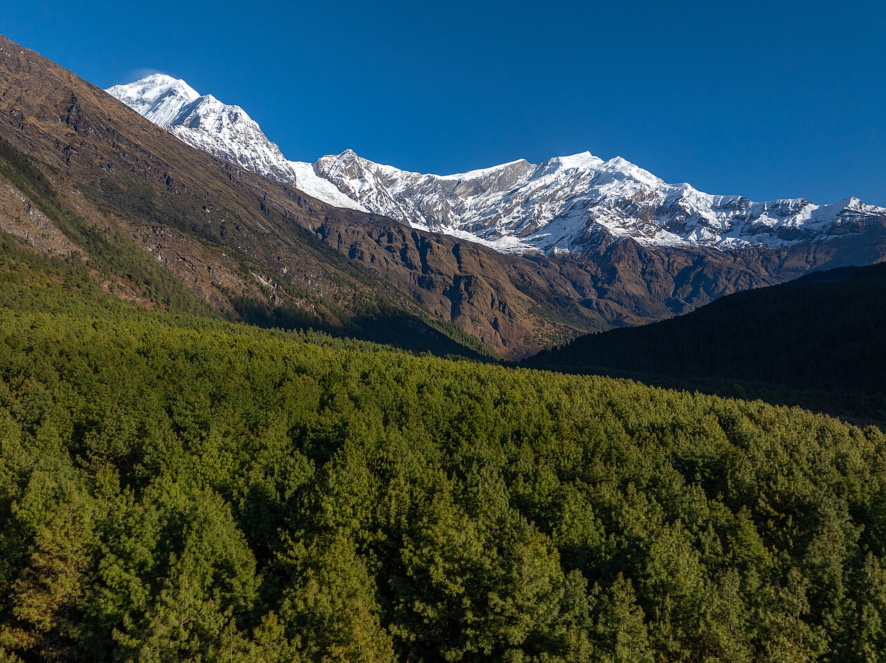
Lumbini Province (Nepali: लुम्बिनी प्रदेश) is a province in western Nepal. It was formed on 20 September 2015 and renamed from "Province No. 5" on 6 October 2020; its permanent capital is Deukhuri in Dang district. The province covers 22,288 km² (about 15.1% of Nepal) and is the third largest province by area and population.
Lumbini borders:
| Zone | Share of Province | Key Districts |
|---|---|---|
| High Mountains/Himalaya | 3.1% | Eastern Rukum (Dhaulagiri range, Putha Hiunchuli 7,246 m) |
| Hills (Mahabharat + Siwalik) | 69.3% | Gulmi, Palpa, Rolpa, Pyuthan, Arghakhanchi, Eastern Rukum, Dang (Chure) |
| Terai/Inner Terai plains | 27.6% | Banke, Bardiya, Kapilvastu, Rupandehi, Parasi/Nawalparasi West, Dang Valley |
The province contains Nepal's largest Inner Terai valleys — Dang and Deukhuri — and two of the country's most important lowland protected areas: Banke National Park and Bardiya National Park.
Lumbini has ~50.4% forest cover province-wide, but distribution is highly uneven.
| District | Forest Cover (%) |
|---|---|
| Dang | 65.6 |
| Banke | 62.7 |
| Arghakhanchi | 59.7 |
| Palpa | 56.6 |
| Bardiya | 56.8 |
| Rolpa | 52.8 |
| Pyuthan | 49.0 |
| Gulmi | 41.8 |
| Eastern Rukum | 39.4* |
| Kapilvastu | 36.9 |
| Parasi (Nawalparasi West)** | variable |
| Rupandehi | 19.5 |
*Lower due to high alpine zones; **Parasi/Nawalparasi West split from old Nawalparasi; western Terai portion has lower cover than eastern hills.
Lumbini is one of Nepal's most agriculturally diverse provinces, spanning tropical Terai, subtropical Inner Terai, and temperate hill zones.
Open a district to read its landscape and forestry background.
Birthplace of Nepali coffee farming, Resunga hill and biodiversity area, Ruru Kshetra (ancient religious site on Kaligandaki), Historic Musikot and Gulmi Darbar palaces
Forest cover ~41.8%. Mixed hardwood and pine forests; Resunga area has biodiversity significance. Community forestry active. Moderate carbon sequestration potential; no major carbon projects documented.
Tansen, historic Sen kingdom capital and Newari-Magar hill town, Rani Mahal ('Taj Mahal of Nepal') on Kali Gandaki, Bhairabsthan Temple and Shreenath Kot, Palpali dhaka textile tradition
Forest cover ~56.6%. Mixed hardwood, sal and pine forests on Mahabharat slopes. Community forestry strong. Carbon sequestration potential significant; some watershed conservation projects.
Parasi (Nawalparasi West) district carved from old Nawalparasi, Ramgram Stupa (only undisturbed original Buddha relic stupa), Sunwal and Bardaghat industrial corridor, Narayani/Gandaki river western edge
Forest cover in old Nawalparasi was high (~81.3% in Parasi/Nawalpur, but much is in eastern/hilly Nawalpur). Western (Parasi) Terai has lower cover with community forests and riverine strips. Carbon potential moderate; no documented REDD+ projects.
Lumbini, birthplace of Lord Buddha (UNESCO World Heritage), Gautam Buddha International Airport, Butwal and Siddharthanagar (Bhairahawa) commercial hubs, Devdaha, maternal home of Queen Mayadevi, Bhikshu University and Lumbini Cultural Municipality
Forest cover lowest in province (~19.5%) due to urbanization and agriculture. Lumbini area has sacred groves and plantations; Chure forests in north. Carbon potential limited; focus is on urban greening and Lumbini master plan plantations.
Ancient Shakya kingdom of Kapilavastu and Tilaurakot ruins, Birth-region of Gautama Buddha and previous Buddhas, Ashoka pillars at Gotihawa and Niglihawa, Krishnanagar and Taulihawa trade towns
Forest cover ~36.9%. Chure (Siwalik) forests and community woodlots; lower cover than hill districts. Biodiversity corridor linking India. Carbon potential limited by population pressure and deforestation.
Historic Supa Deurali Temple (Sandhikharka), Hill-top vantage points over the West Rapti valley, Traditional Magar and Brahmin-Chhetri culture, Former Chaubisi principalities of Argha and Khanchi
Forest cover ~59.7% (one of the higher hill-cover districts in Lumbini). Community forestry active on Mahabharat and Siwalik slopes. Carbon sequestration potential in sal and mixed hardwood forests; no major REDD+ projects documented.
Swargadwari Temple, major Hindu pilgrimage site, Jhimruk and Madi river valleys, Hill trekking and Magar culture, Historic Chaubisi principality
Forest cover ~49.0%. Mixed sal, pine and broadleaf forests; community forestry widespread. Moderate carbon stock. Watershed conservation on Jhimruk and Madi important for downstream irrigation.
Historic heartland of the People's War (1996-2006), Liwang bazaar and Rolpa town, Sunchhahari waterfalls and Jaljala area, Magar-majority hill culture
Forest cover ~52.8%. Mixed sal, pine and broadleaf forests; community forestry expanding after conflict. Significant carbon sink potential in rehabilitated forests; no registered carbon projects.
Putha Hiunchuli (Dhaulagiri VII, 7,246 m) and Dhaulagiri range trekking, Dhorpatan Hunting Reserve (only hunting reserve in Nepal), Magar-majority highland culture (Kham Magar), Historic base area of the People's War
Forest cover ~39.4% (lower due to high altitude). Dhorpatan Hunting Reserve protects alpine/sub-alpine ecosystems. Community forests at lower elevations. High per-hectare carbon value in intact temperate forests but limited area; REDD+ not documented.
Nepalgunj, a major trade and transit hub on the Nepal-India border, Banke National Park (Terai Arc Landscape / tiger conservation), Bageshwori Temple and Jamunaha border market, Ethnic mosaic of Tharu, Muslim, Hill and Madhesi communities
Forest cover ~62.7%. Banke National Park (550 km²) and community forests form a key carbon sink and biodiversity corridor. Significant potential for REDD+ and tiger-landscape conservation payments; limited registered carbon projects.
Bardiya National Park, Nepal's largest lowland national park, Tiger, rhino, elephant and Gangetic dolphin habitat, Tharu indigenous culture and homestays, Karnali River and Geruwa corridor wildlife tourism
Forest cover ~56.8%. Bardiya National Park (968 km²) plus buffer-zone community forests store significant above-ground carbon. Part of Terai Arc Landscape; biodiversity offsets and REDD+ potential remain underdeveloped.
Dang and Deukhuri valleys, largest Inner Terai valleys, Prehistoric Paleolithic and Siwalik fossil sites, Ambikeshwori and Pandaveswor temples (world's largest trident), Ghorahi and Tulsipur twin cities; Deukhuri provincial capital
Forest cover ~65.6%, highest in Lumbini. Dense Siwalik (Chure) sal and mixed forests; community forestry widespread. Significant carbon sink; Babai watershed critical for recharge.
Each participating forest will have its own record, distinct from the background research above. The following information needs to be established before a project can be assessed.
Forest name, mapped management boundary, forest type, ecological zone and area.
Management institution, community forest user group, tenure, operational plan and benefit-sharing arrangements.
Species composition, age structure, canopy, growing stock, biodiversity and disturbance history.
Inventory plots, baseline management, biomass and soil pools, methodology, uncertainty and monitoring schedule.
Consent, livelihoods, inclusion, grievance mechanism, fire risk, leakage and permanence planning.
Proposed activities, budget, implementing partners, agreements, field photographs and verification documents.
Choose a province to explore its forest context and the evidence needed for project development.
Loading Nepal’s boundaries…
Selected area · click a boundary to explore54.66% forest cover · 2022 land-cover baseline
Explore a landscape baseline and start a conversation.Share maps, available records and local priorities with the team. Data will need review before it can become a published project record; these pages do not imply eligibility, verified carbon volumes or an existing agreement.
Discuss Lumbini