Forest identity & boundaries
Forest name, mapped management boundary, forest type, ecological zone and area.
 A shared climate future
A place-specific foundation for forest partnerships, evidence and long-term stewardship.
Districts: Dailekh · Dolpa · Humla · Jajarkot · Jumla · Kalikot · Mugu · Rukum West · Salyan · Surkhet
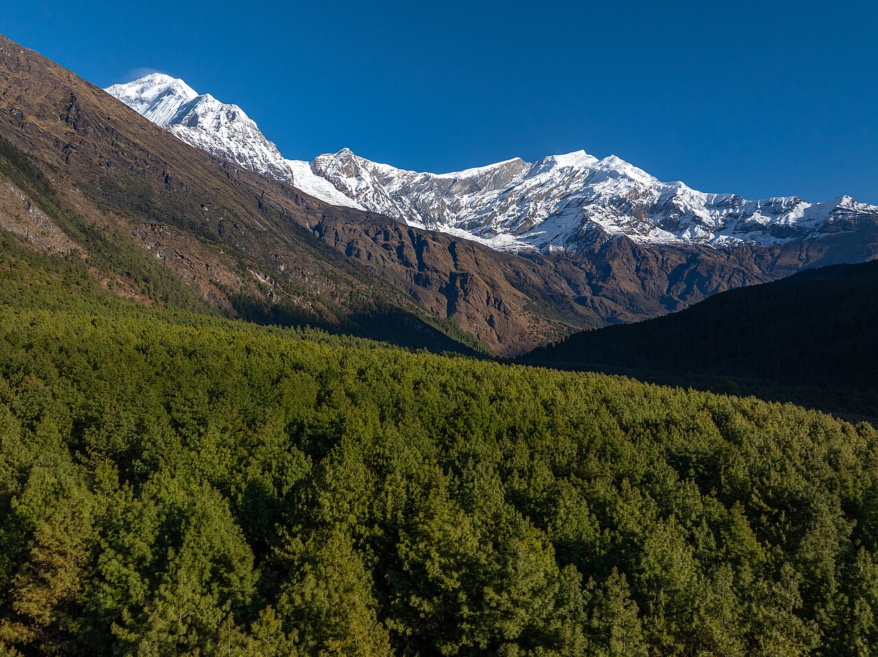
Karnali Province is Nepal's largest province by area and one of the least densely populated. It stretches from the southern Siwalik-Churia hills through the mid-hills to the high Himalaya and Tibet border. The Karnali River, Nepal's longest river, runs through the province and gives it its name. The provincial capital is Birendranagar in Surkhet District.
The province has 10 districts and 79 local levels. It is characterised by extreme topography, limited road density, high dependence on subsistence agriculture and remittances, and significant hydropower, forest, and tourism potential.
Open a district to read its landscape and forestry background.
Rukumkot (Kamala Daha), Shyarpu Tal, Deurali cave, Musikot bazaar, Dhaulagiri views, road corridor to Jajarkot/Salyan, Magar cultural heartland.
Mixed broadleaf and pine forests on mid-hills; community forestry widespread; moderate carbon sequestration; watershed for Bheri basin.
Salyan Palace/kot, Sharada (Sharada) municipality, sal forests, Shuklaphanta wildlife corridor links, ginger and vegetable production.
Sub-tropical Sal and mixed deciduous forests; significant biomass carbon; community forestry and possible REDD+; corridor to Churia conservation.
Shey Phoksundo Lake (Nepal's deepest), Phoksundo waterfall, Upper Dolpo trekking, yak/caravan culture, Tibetan Buddhism and Bon religion.
Sparse high-altitude forests and alpine meadows; limited commercial carbon sequestration but important biodiversity (snow leopard, blue sheep); protected area carbon value.
Limithang / Limi Valley, Mount Kailash pilgrimage route, ancient monasteries, Tibet border trade at Hilsa/Nara La.
High-altitude coniferous forests and rangelands; low population pressure; important watersheds for Karnali/Ganges; very limited carbon project activity due to remoteness.
Sinja Valley (Malla-era inscriptions, origin of Khas language), Jumli marshi rice, Chandannath Temple, Rara Lake access route, apple orchards.
Temperate conifer and mixed forests; significant community forestry coverage; carbon stock potential; biodiversity corridor linking Rara-Shey Phoksundo.
Karnali River (rafting and hydropower), ancient Kotbada, Pachal Jharana waterfall, high-grade mineral deposits, remote trekking routes.
Mixed pine-oak and conifer forests; high watershed value for Karnali; community forests present; carbon data limited.
Rara Lake (biggest lake in Nepal), Rara National Park, Talcha airport, coniferous forests, Thakuri heritage, trans-Himalayan trade routes.
Dense sub-alpine and temperate forests around Rara; significant carbon stock; protected area and community forestry; biodiversity (red panda, musk deer).
Birendranagar (provincial capital), Karnali Highway hub, Kakrebihar (ancient Buddhist site), Bulbule/Bheri irrigation, Deuti Bajai Temple, higher education and health services.
Deciduous Sal and riverine forests on plains and Churia; moderate carbon stock; community and leasehold forestry; urban pressure on fringe forests.
Kalika Bhagawati Temple, Dullu stone inscriptions (medieval Malla history), oil-bearing crops (til), ginger production.
Sub-tropical to temperate community forests on mid-hills; moderate carbon sequestration potential; watershed role for Bheri tributaries.
Historic Khalanga palace area, Bheri River, limestone caves, iron ore deposits, diverse Thakuri/Chhetri/Magar culture.
Sub-tropical Sal and pine forests on south-facing slopes; community forestry active; moderate carbon stock; erosion control on steep terrain.
Each participating forest will have its own record, distinct from the background research above. The following information needs to be established before a project can be assessed.
Forest name, mapped management boundary, forest type, ecological zone and area.
Management institution, community forest user group, tenure, operational plan and benefit-sharing arrangements.
Species composition, age structure, canopy, growing stock, biodiversity and disturbance history.
Inventory plots, baseline management, biomass and soil pools, methodology, uncertainty and monitoring schedule.
Consent, livelihoods, inclusion, grievance mechanism, fire risk, leakage and permanence planning.
Proposed activities, budget, implementing partners, agreements, field photographs and verification documents.
Choose a province to explore its forest context and the evidence needed for project development.
Loading Nepal’s boundaries…
Selected area · click a boundary to explore27.93% forest cover · 2022 land-cover baseline
Explore a landscape baseline and start a conversation.Share maps, available records and local priorities with the team. Data will need review before it can become a published project record; these pages do not imply eligibility, verified carbon volumes or an existing agreement.
Discuss Karnali