Forest identity & boundaries
Forest name, mapped management boundary, forest type, ecological zone and area.
 A shared climate future
A place-specific foundation for forest partnerships, evidence and long-term stewardship.
Districts: Achham · Baitadi · Bajhang · Bajura · Dadeldhura · Darchula · Doti · Kailali · Kanchanpur
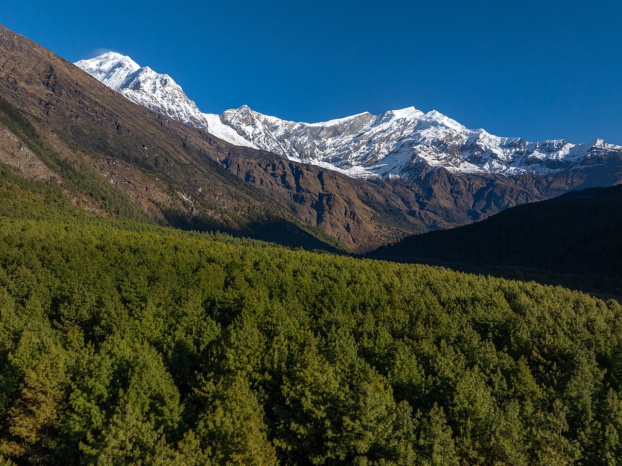
Sudurpashchim Province is Nepal’s far-western province, coterminous with the former Far-Western Development Region. It covers about 19,999 km² (including claimed territory) and had a population of 2,694,783 in the 2021 census, making it Nepal’s fifth most populous province ([Wikipedia](https://en.wikipedia.org/wiki/Sudurpashchim_Province); [CBS 2021](https://censusnepal.cbs.gov.np/results/files/result-folder/province/Sudurpaschim_Province_census_report.pdf)).
Topographically, the province stretches from the Terai plains (Kailali and Kanchanpur districts) through the mid-hills (Doti, Dadeldhura, Achham, Baitadi) to the high Himalayas (Darchula, Bajhang, Bajura). Major peaks include Mt Api (7,132 m), Mt Saipal (7,031 m), Jethi Bahurani (6,850 m) and Om Parvat. Major rivers are the Karnali in the east, the Seti in the centre and the Mahakali in the west.
The largest cities are Dhangadhi (sub-metropolitan city, provincial temporary capital), Bhimdatta (Mahendranagar) and Tikapur. The province’s literacy rate is 76.2% and the sex ratio is 1,117 females per 1,000 males.
Sudurpashchim holds nationally important carbon stocks and biodiversity. Key protected areas include Shuklaphanta National Park, the Ghodaghodi Lake Ramsar wetland, Khaptad National Park (spanning Doti/Achham/Bajhang/Bajura) and the Api Nampa Conservation Area. Terai and Chure forests support elephants, tigers, rhinos and deer; high Himalayan ecosystems support snow leopards, musk deer and medicinal plants. Community forestry is widespread but management capacity varies. The province has significant carbon sequestration potential, especially in the Terai-Chure and high alpine zones.
Agriculture follows a strong altitudinal gradient. The Terai produces paddy, wheat, maize, sugarcane, oilseeds, lentils, vegetables and dairy. The mid-hills grow maize, millet, wheat and rice with limited irrigation, while the high mountains practise subsistence barley/buckwheat farming and transhumant livestock (yak, chauri, sheep, goats). Kailali and Kanchanpur have the strongest commercial potential; remote mountain municipalities face food deficits and poor market access.
Open a district to read its landscape and forestry background.
Dhangadhi (sub-metropolitan city and provincial temporary capital), the Ramsar-listed Ghodaghodi Lake wetland, Tikapur, the fast-growing Godawari municipality, and Terai agricultural wealth.
Terai and Chure/Siwalik forests, Ghodaghodi Lake wetland and community forests store significant carbon and support biodiversity (migratory birds, crocodiles). Floodplain forests face encroachment.
Baidyanath Dham (one of Nepal’s four sacred Shiva shrines), the scenic Ramaroshan area, Sanphebagar town with its airport, mid-hill landscapes and the Karnali-Seti river system.
Hill forests and community forests cover much of the district; the Khaptad National Park area extends into Bajhang/Bajura/Achham. Moderate carbon sequestration potential, but pressure from fuelwood and grazing.
The medieval Doti Kingdom, Saileswori Temple, Dipayal Silgadhi district headquarters, the legacy of revolutionary leader K.I. Singh, and Khaptad Lake.
Mixed hill forests, community forests and the Khaptad National Park area provide carbon storage and biodiversity. Watershed degradation is a concern.
Badimalika Temple (major pilgrimage), the Triveni holy confluence, Khaptad National Park area, the district headquarters Martadi, and trans-Himalayan pastoral landscapes.
High mountain forests, alpine meadows and Khaptad NP area provide substantial carbon storage and biodiversity. Community forestry is present but capacity-constrained.
Mt Saipal (7,031 m), the Khaptad National Park area, the historic Kingdom of Bajhang at Chainpur/Jaya Prithvi, Bannimasta and Khaptad Baba temples, and high Himalayan landscapes.
Alpine/subalpine forests, pastures and the Khaptad National Park area hold significant carbon and biodiversity. Community forestry is expanding but management capacity is limited.
Mt Api (7,132 m), the Api Nampa Conservation Area, the Byans/Tinkar valley and Tinkar Pass, the traditional Thapla social system, and the Mahakali corridor to Tibet/India.
High mountain forests, alpine meadows and the Api Nampa Conservation Area provide large carbon storage and biodiversity (snow leopard, musk deer). Community forestry is present.
Tripura Sundari Temple, Chand-dynasty heritage, the Jagar ritual tradition, the Pancheshwar confluence/proposed dam site, and hill-border trade with India via Jhulaghat.
Subtropical and temperate forests with extensive community forestry; moderate carbon stock and biodiversity value. Deforestation and landslides are linked hazards.
Ugratara Temple, the historic Raika capital of Ajaymeru, hometown of former Prime Minister Sher Bahadur Deuba, and its relatively developed hill-town environment.
Hill forests and community forests; part of the Chure/Siwalik range in the south. Moderate carbon sequestration and watershed protection value.
Shuklaphanta National Park (swamp deer), Bhimdatta (Mahendranagar) commercial town, the long Mahakali suspension bridge at Dodhara Chandani, Bedkot and Jhilmila lakes, and Terai trade.
Shuklaphanta National Park, Chure forests and extensive community forests provide carbon storage and biodiversity. Grasslands and wetlands are internationally important.
Each participating forest will have its own record, distinct from the background research above. The following information needs to be established before a project can be assessed.
Forest name, mapped management boundary, forest type, ecological zone and area.
Management institution, community forest user group, tenure, operational plan and benefit-sharing arrangements.
Species composition, age structure, canopy, growing stock, biodiversity and disturbance history.
Inventory plots, baseline management, biomass and soil pools, methodology, uncertainty and monitoring schedule.
Consent, livelihoods, inclusion, grievance mechanism, fire risk, leakage and permanence planning.
Proposed activities, budget, implementing partners, agreements, field photographs and verification documents.
Choose a province to explore its forest context and the evidence needed for project development.
Loading Nepal’s boundaries…
Selected area · click a boundary to explore51.33% forest cover · 2022 land-cover baseline
Explore a landscape baseline and start a conversation.Share maps, available records and local priorities with the team. Data will need review before it can become a published project record; these pages do not imply eligibility, verified carbon volumes or an existing agreement.
Discuss Sudurpaschim